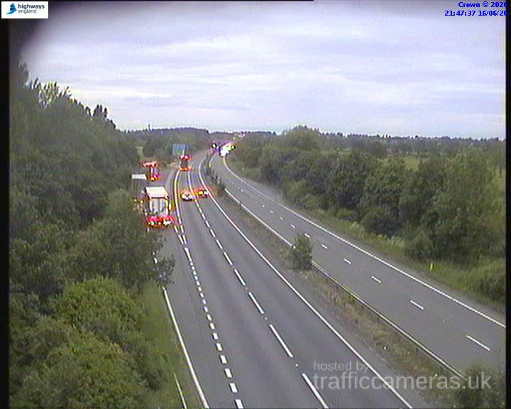
A14 Junction 1
A14 · Direction unavailable
Status: Online
Updated 1 min ago

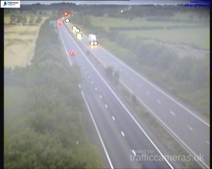
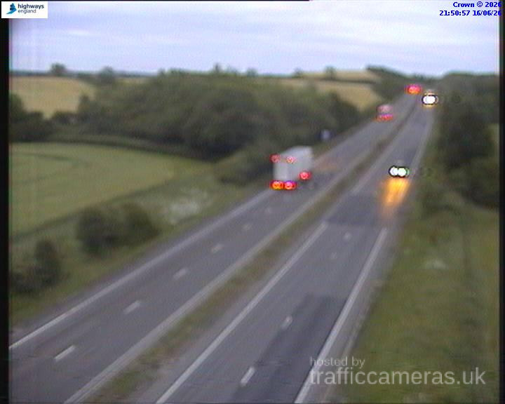
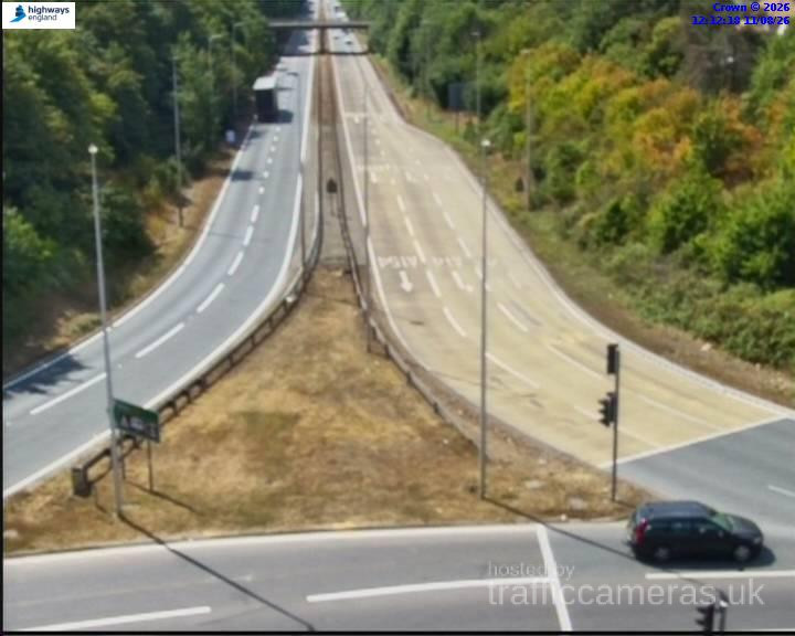
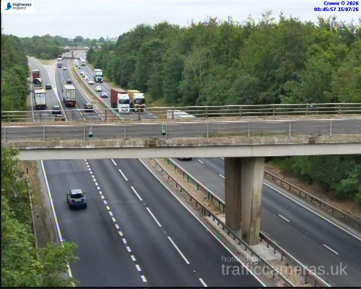
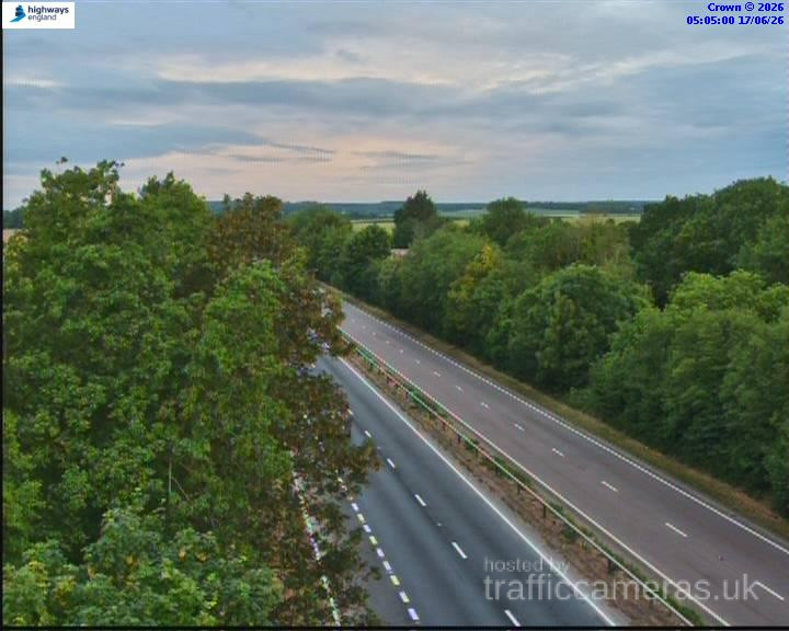
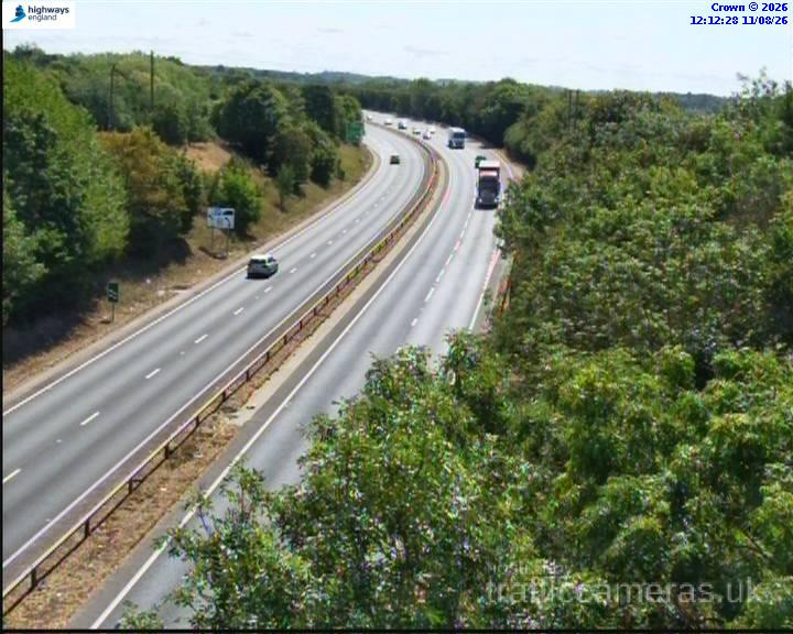
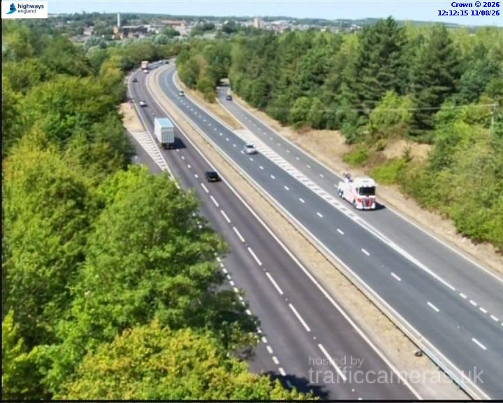
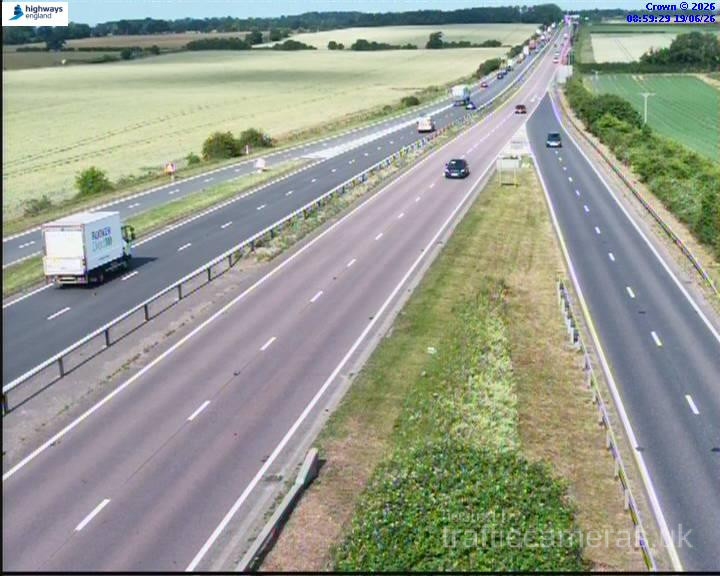
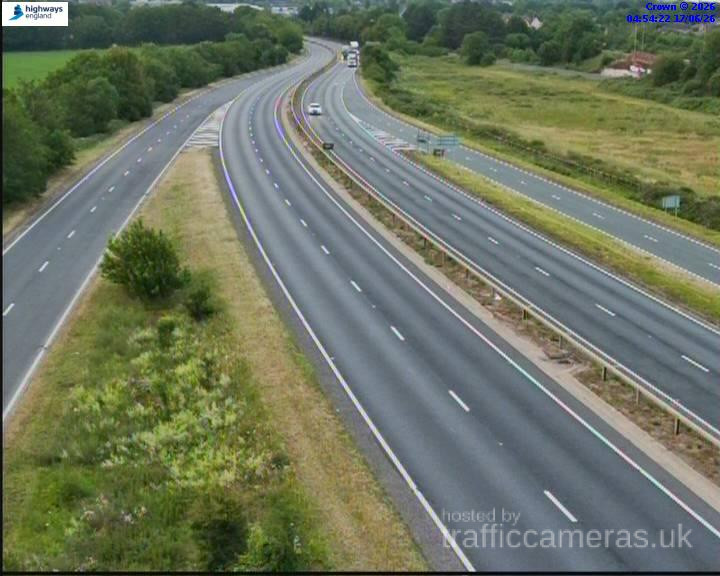
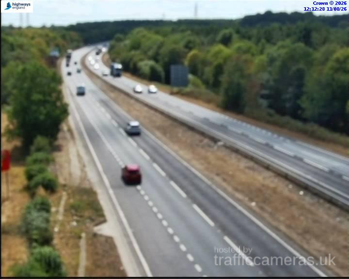
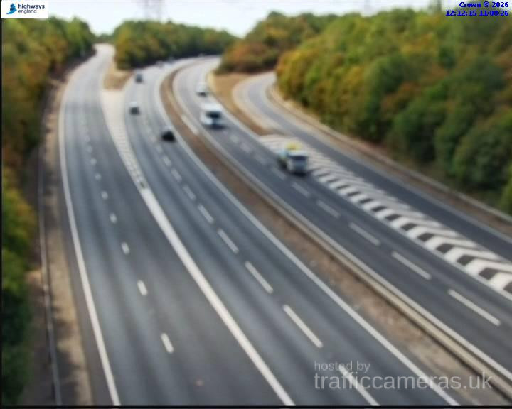
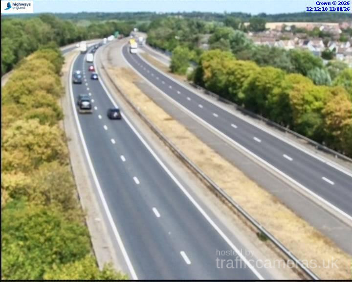
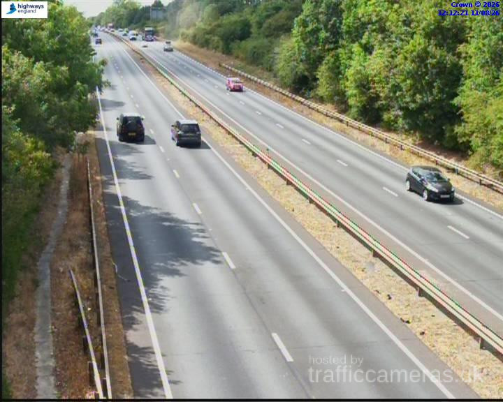
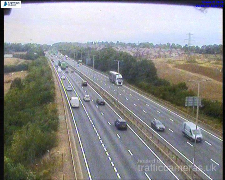
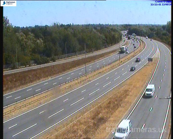
Check A14 Traffic Cameras across the UK to see live road conditions, traffic flow, congestion and incidents along one of Britain’s busiest motorways. Live A14 CCTV views can help you understand current traffic conditions before setting off, whether you are commuting, travelling for work or making a longer journey.
Live route weather
Updated 22:00 UK time
No significant weather-related driving risk is indicated for this route snapshot.
Approved driver reports for this route.
A14 · Direction unavailable
Status: Online
Updated 1 min ago
A14 · Direction unavailable
Status: Online
Updated 1 min ago
A14 · Direction unavailable
Status: Online
Updated 1 min ago
A14 · Direction unavailable
Status: Online
Updated 1 min ago
A14 · Direction unavailable
Status: Online
Updated 1 min ago
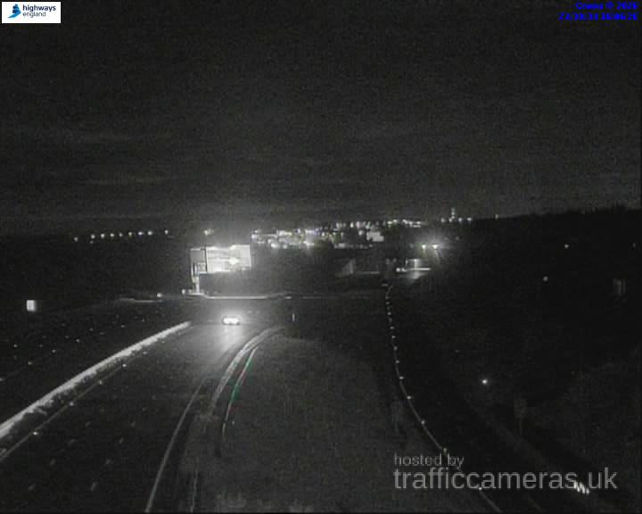
A14 · Direction unavailable
Status: Online
Updated 1 min ago
A14 · Direction unavailable
Status: Online
Updated 1 min ago
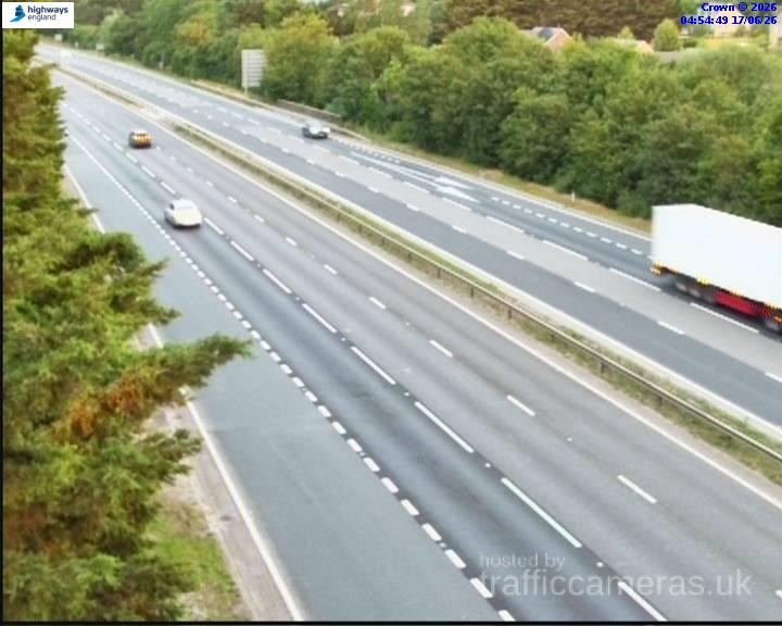
A14 · Direction unavailable
Status: Online
Updated 1 min ago

A14 · Direction unavailable
Status: Online
Updated 1 min ago
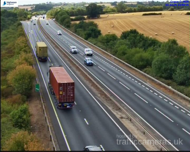
A14 · Direction unavailable
Status: Online
Updated 1 min ago
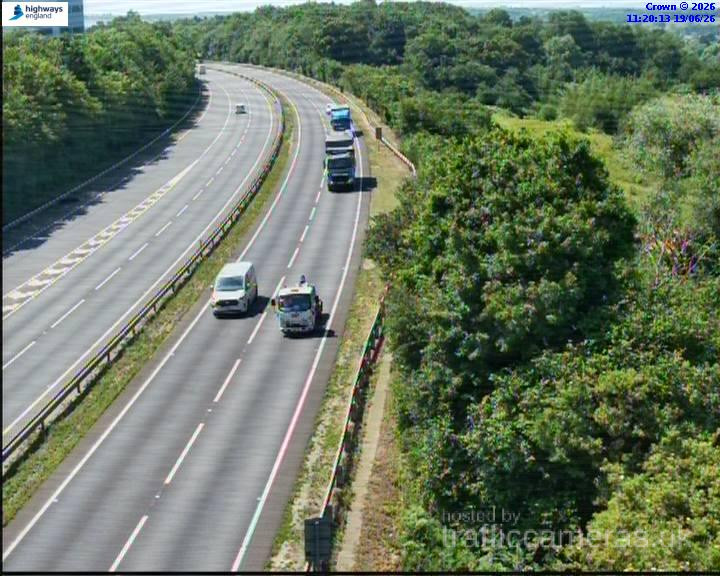
A14 · Direction unavailable
Status: Online
Updated 1 min ago
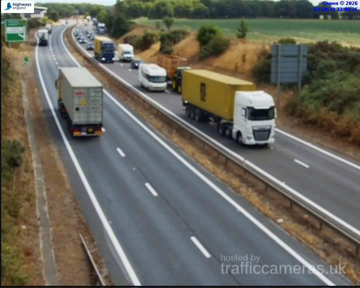
A14 · Direction unavailable
Status: Online
Updated 1 min ago
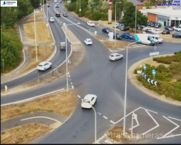
A14 · Direction unavailable
Status: Online
Updated 1 min ago
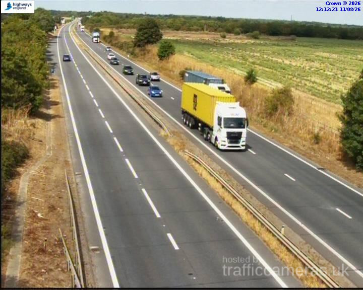
A14 · Direction unavailable
Status: Online
Updated 1 min ago
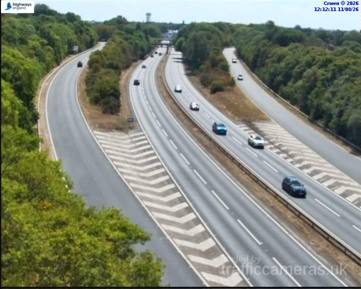
A14 · Direction unavailable
Status: Online
Updated 1 min ago
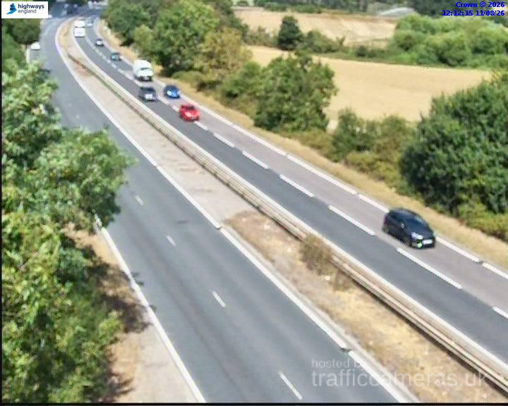
A14 · Direction unavailable
Status: Online
Updated 1 min ago
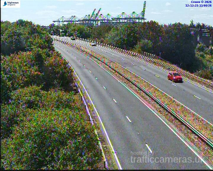
A14 · Direction unavailable
Status: Online
Updated 1 min ago
A14 · Direction unavailable
Status: Online
Updated 1 min ago
A14 · Direction unavailable
Status: Online
Updated 1 min ago
A14 · Direction unavailable
Status: Online
Updated 1 min ago
A14 · Direction unavailable
Status: Online
Updated 1 min ago
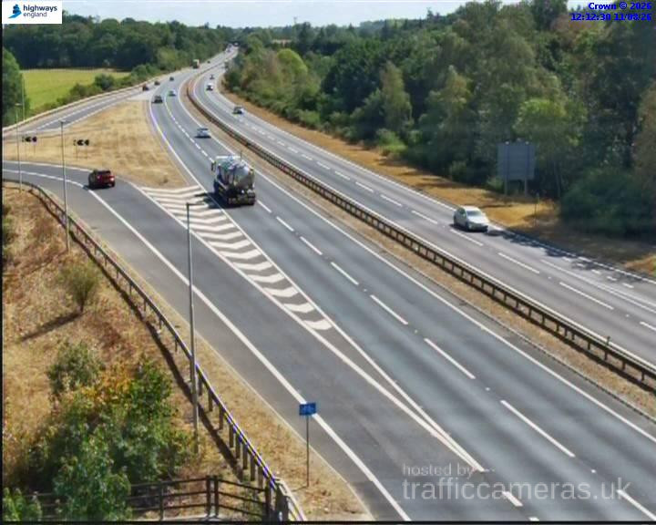
A14 · Direction unavailable
Status: Online
Updated 1 min ago
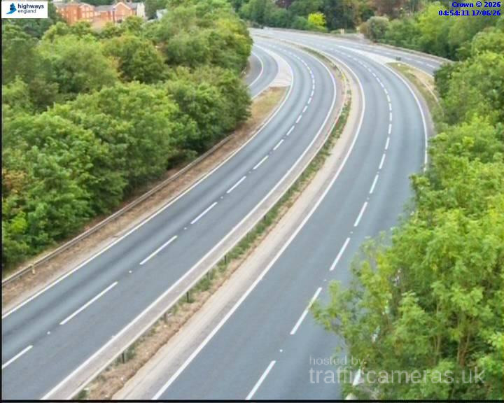
A14 · Direction unavailable
Status: Online
Updated 1 min ago
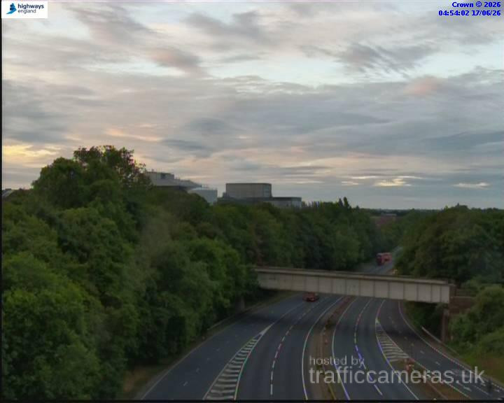
A14 · Direction unavailable
Status: Online
Updated 1 min ago
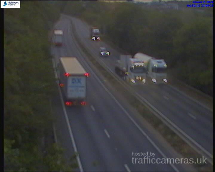
A14 · Direction unavailable
Status: Online
Updated 1 min ago
A14 · Direction unavailable
Status: Online
Updated 1 min ago
A14 · Direction unavailable
Status: Online
Updated 1 min ago
A14 · Direction unavailable
Status: Online
Updated 1 min ago
A14 · Direction unavailable
Status: Online
Updated 1 min ago
A14 · Direction unavailable
Status: Online
Updated 1 min ago
A14 · Direction unavailable
Status: Online
Updated 1 min ago
A14 · Direction unavailable
Status: Online
Updated 1 min ago
A14 · Direction unavailable
Status: Online
Updated 1 min ago
A14 · Direction unavailable
Status: Online
Updated 1 min ago
A14 · Direction unavailable
Status: Online
Updated 1 min ago
A14 · Direction unavailable
Status: Online
Updated 1 min ago
A14 · Direction unavailable
Status: Online
Updated 1 min ago
A14 · Direction unavailable
Status: Online
Updated 1 min ago
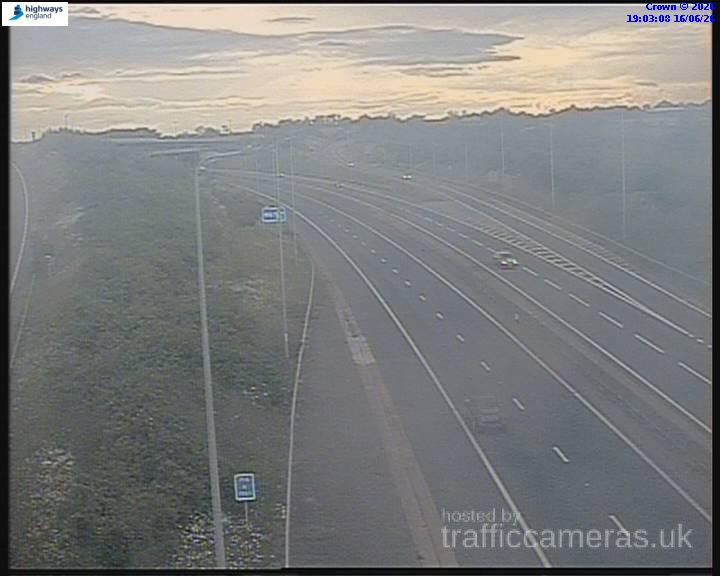
A14 · Direction unavailable
Status: Online
Updated 1 min ago
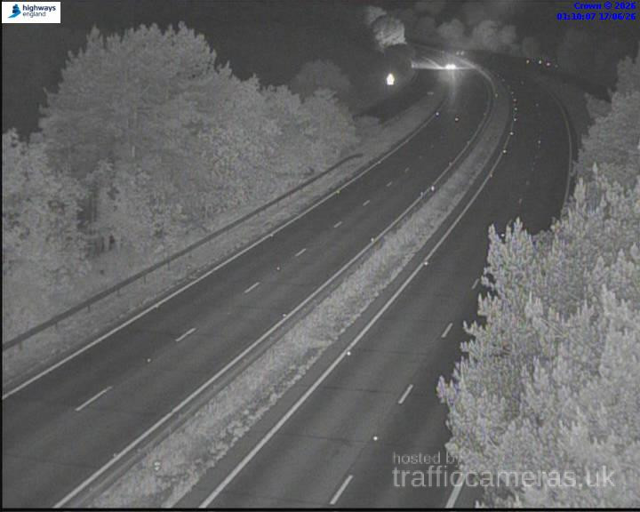
A14 · Direction unavailable
Status: Online
Updated 1 min ago
A14 · Eastbound
Status: Online
Updated 1 min ago
A14 · Westbound
Status: Online
Updated 1 min ago
A14 · Direction unavailable
Status: Online
Updated 1 min ago

A14 · Direction unavailable
Status: Online
Updated 1 min ago
A14 · Direction unavailable
Status: Online
Updated 1 min ago
A14 · Westbound
Status: Online
Updated 1 min ago
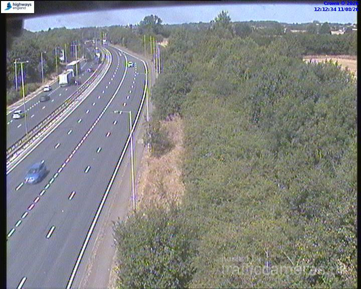
A14 · Direction unavailable
Status: Online
Updated 1 min ago
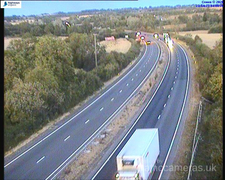
A14 · Direction unavailable
Status: Online
Updated 1 min ago
A14 · Direction unavailable
Status: Online
Updated 1 min ago
A14 · Direction unavailable
Status: Online
Updated 1 min ago
A14 · Direction unavailable
Status: Online
Updated 1 min ago
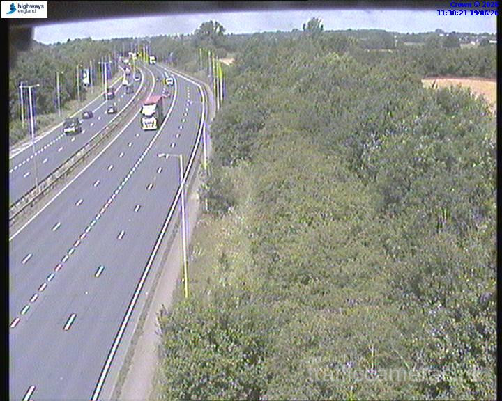
A14 · Direction unavailable
Status: Online
Updated 1 min ago
When traffic news a14 reports mention “delays,” it’s worth asking what kind. A car-related fender-bender near Cambridge clears differently than an HGV breakdown near the Felixstowe approach, where recovery access is more limited and the consequences for freight scheduling extend further. Reports that specify vehicle type or exact location are more useful than generic congestion alerts.
A rough pattern emerges if you watch this road across a normal weekday:
Knowing which phase of the day you’re travelling in helps set expectations before you even check live conditions.
Given how much freight timing influences this road, a single traffic update checked hours before departure loses reliability fast. If your journey touches the Felixstowe end of the route, a check closer to your actual departure time, rather than earlier in the day, gives a meaningfully better picture.
This page is reviewed and updated regularly, drawing on established UK traffic monitoring infrastructure.
Why does A14 traffic vary so much throughout the day?
The road serves as a major freight corridor to the Port of Felixstowe, so container and HGV schedules affect traffic patterns beyond typical commuter timing.
Where can I find reliable traffic news for the A14?
Reports that specify the vehicle type and exact location involved tend to be more useful than general congestion alerts on this route.
Which part of the A14 sees the most freight-related delay?
The stretch between Bury St Edmunds and Felixstowe carries the heaviest freight volume of the entire route.
How often should I check A14 traffic updates before travelling?
If your journey touches the Felixstowe end, checking close to your actual departure time gives a more reliable picture than an earlier check.
Is evening the worst time for A14 westbound traffic?
Often yes, since commuter traffic and returning freight vehicles tend to overlap during the evening window.
Is it safe to check A14 traffic updates while driving?
No. Always check before setting off, or ask a passenger to check for you.